Laurel Falls
80-foot falls · 2.6-mile round trip, paved
The park's best-known waterfall walk, paved the whole way to an eighty-foot fall split in two by a footbridge. Paved doesn't mean flat — there are climbs, and steep drop-offs beside the path — and the small lot on Little River Road fills early, so start at first light.
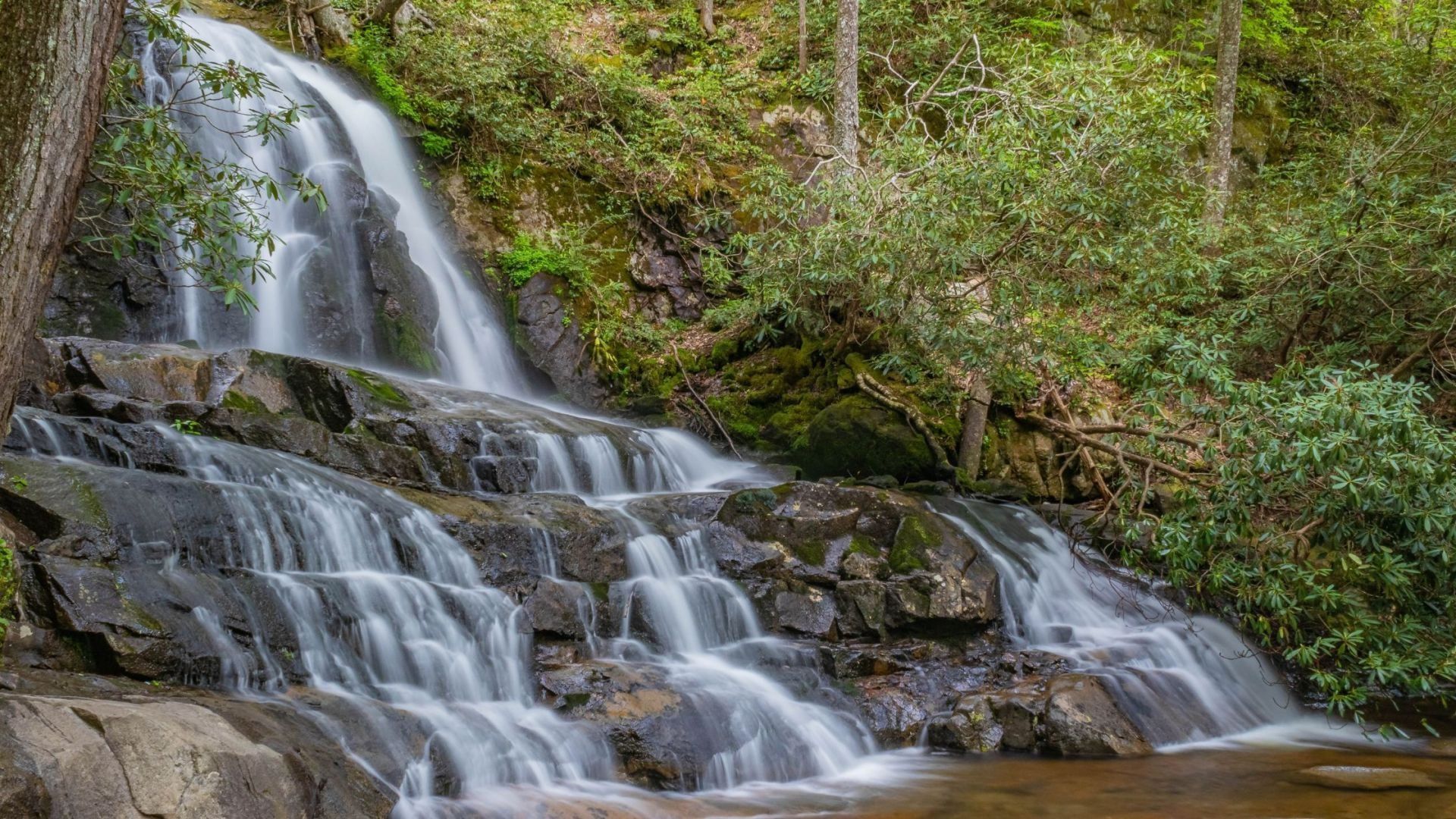
Laurel Falls is one of the most popular and accessible hiking destinations in the Great Smoky Mountains. An easy drive from Gatlinburg, the trail leads to an 80-foot waterfall that tumbles down in two tiers, with a walkway crossing the stream between them.
The falls take their name from the mountain laurel that lines the trail and blooms in late spring. At 2.6 miles round trip, it's a hike most families can enjoy, and one of the best ways to see a big Smoky Mountain waterfall without a long day on the trail.
Laurel Falls at a glance
Time: about two hours
Falls height: 80 feet, in two tiers
Difficulty: moderate, with a few short steep sections
Trailhead: Little River Road, about three miles west of Sugarlands Visitor Center
Pets: not allowed on this trail
Finding the Laurel Falls trailhead
From Sugarlands Visitor Center just outside Gatlinburg, take Little River Road toward Elkmont and Cades Cove. The Laurel Falls trailhead is about three miles down the road, with parking areas on both sides.
Arrive early — Laurel Falls is one of the busiest trails in the park, and parking fills quickly, especially on weekends and summer weekdays. Morning is your best chance at a spot.
Use the shuttle when parking is full — the park recommends a shuttle on busy days. Never park in undesignated spots along the road.
Bring a parking tag — a national park parking tag is required for any vehicle parked longer than fifteen minutes. See our guide to where to buy a Smokies parking pass.
Plan for restrooms — there are none at the trailhead. The closest are at Sugarlands Visitor Center.
What the hike is like
The trail climbs gently through mixed hardwood forest for about 1.3 miles to the falls. It's partly paved, and some stretches are rough and uneven, so wear comfortable walking shoes. A few short sections are steep and can be slippery when wet, and some spots along the trail have drop-offs, so keep children close.
In late spring, mountain laurel blooms along the path, giving the falls their name. Keep an eye out for wildlife. Black bears are common in this part of the park, so keep a safe distance and never feed them.
At the falls
Laurel Falls drops about 80 feet in two sections, with a walkway crossing the stream right between the upper and lower cascades. It's one of the most photographed spots in the Smokies, and the falls are at their fullest after a good rain. Take your photos from the walkway and enjoy the view.
Best time to visit Laurel Falls
Late spring — mountain laurel blooms along the trail, and the falls run strong.
Summer — the busiest season. Start early in the day or use the shuttle.
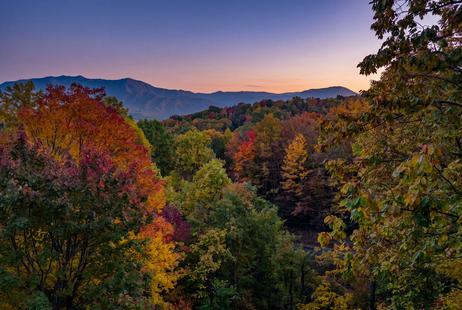
Fall — colorful leaves frame the falls, making this a favorite autumn hike. Plan a leaf-season trip with our fall cabin rentals.
Weekends are busy all year. For a quieter visit, go early on a weekday, and check the national park's website for any temporary closures before you head out.
More waterfall hikes near Gatlinburg
Make it a waterfall day. Just down Little River Road, The Sinks is a powerful roadside waterfall that needs no hike at all. Off Roaring Fork, Grotto Falls lets you walk behind the water, and Baskins Creek Falls offers a quieter trail with fewer crowds. In Cades Cove, Abrams Falls is one of the most powerful waterfalls in the park. Find even more in our roundup of waterfalls near Gatlinburg and our full list of Smoky Mountain hiking trails.
Frequently asked questions
How long is the Laurel Falls hike?
2.6 miles round trip. Most hikers take about two hours, including time at the falls.
How tall is Laurel Falls?
About 80 feet, falling in an upper and a lower section.
Is Laurel Falls good for kids?
Yes, it's a popular family hike. A few sections are steep and there are some drop-offs, so keep little ones close.
Where is the Laurel Falls trailhead?
On Little River Road, about three miles west of Sugarlands Visitor Center near Gatlinburg.
Do I need a parking pass?
Yes. A national park parking tag is required for any vehicle parked longer than fifteen minutes.
Can I bring my dog?
No. Pets aren't allowed on the Laurel Falls Trail.
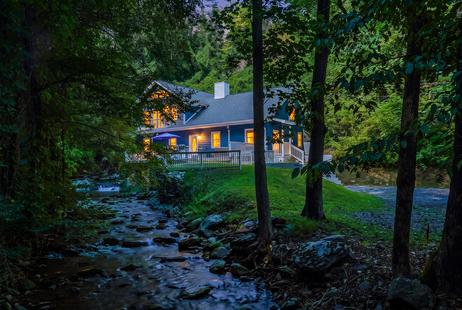
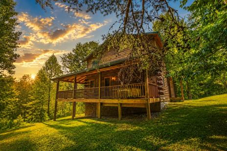
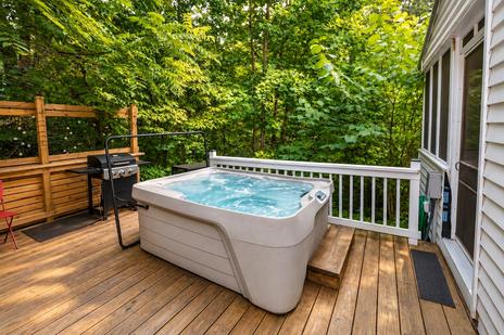
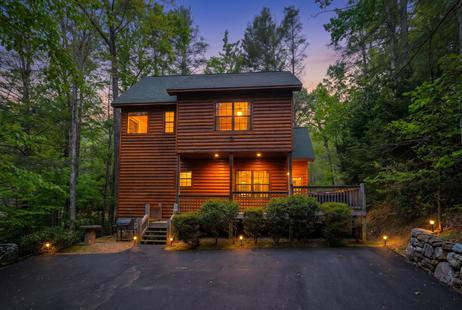
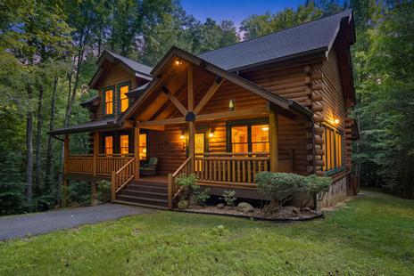
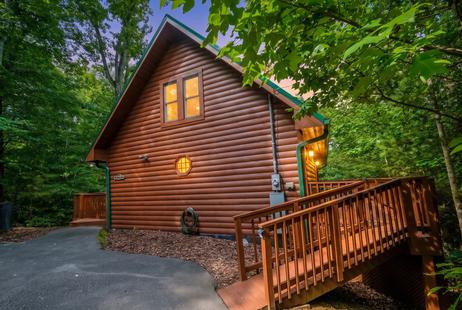
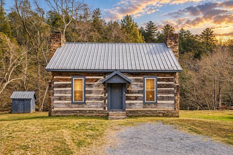
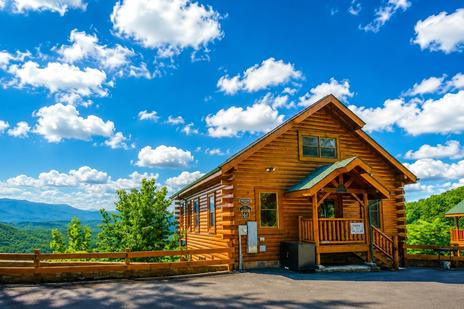
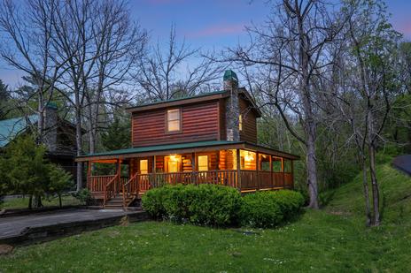
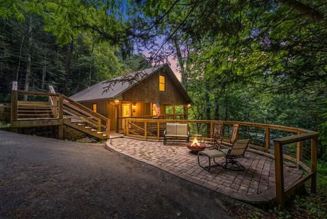
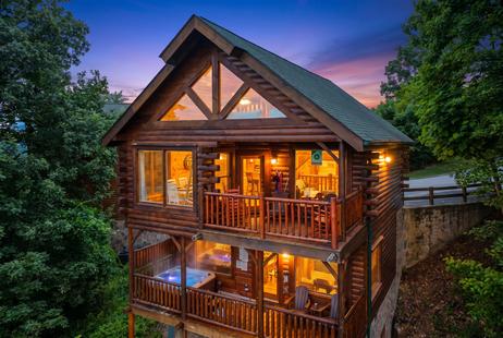
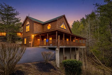
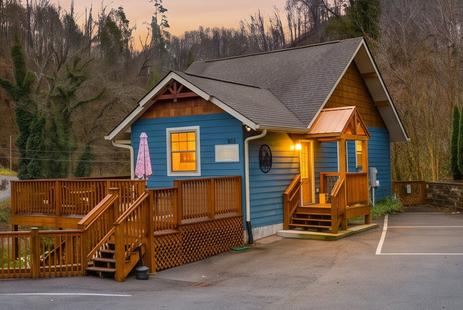
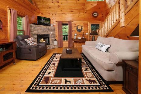
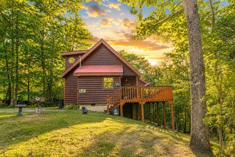
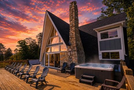
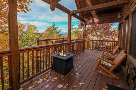
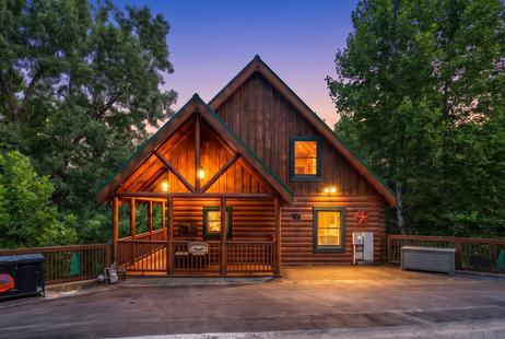
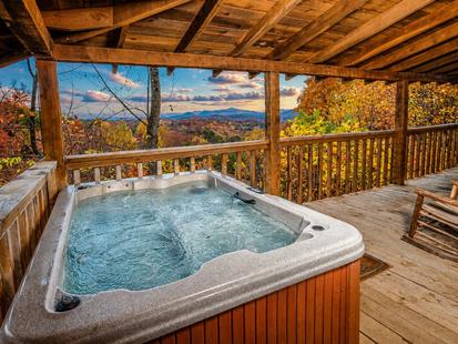
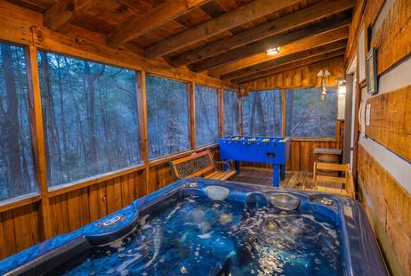
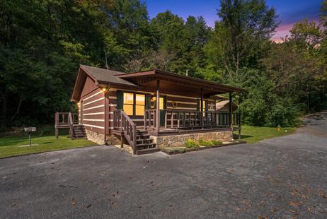
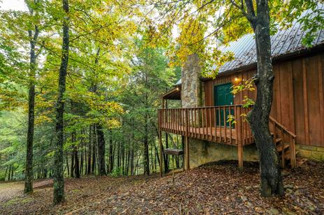
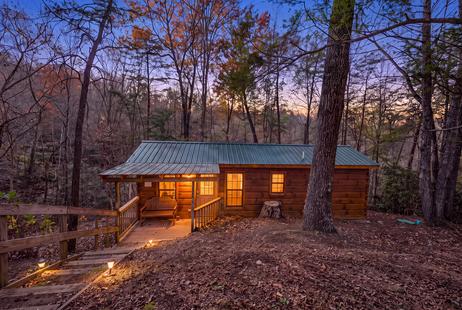
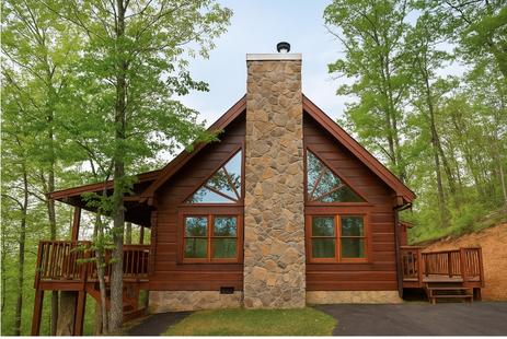
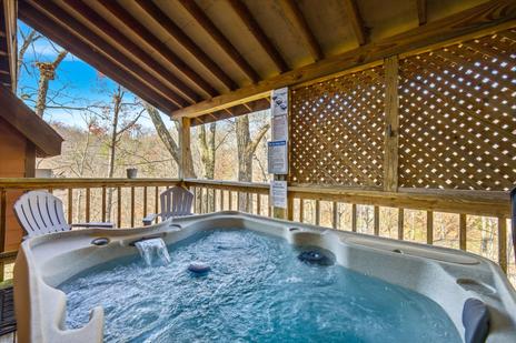
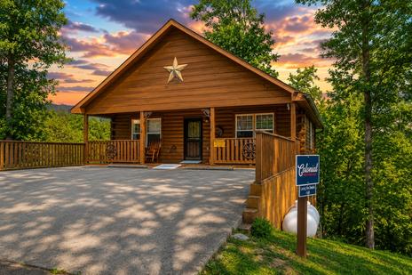
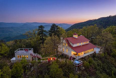
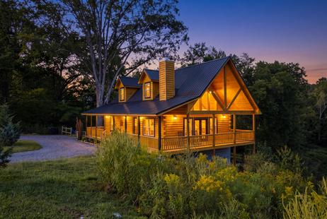
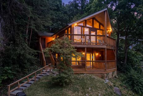
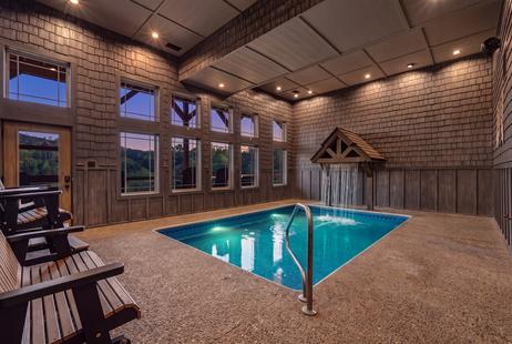
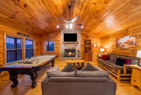
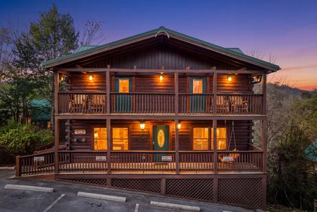
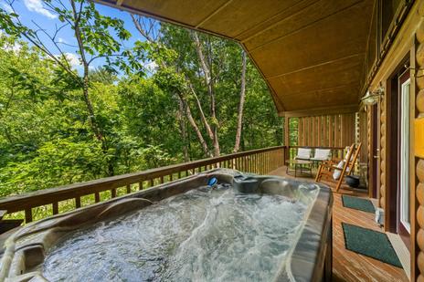
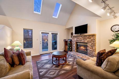
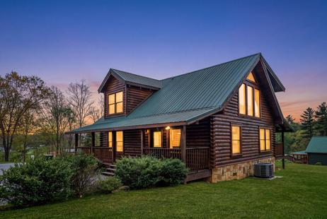
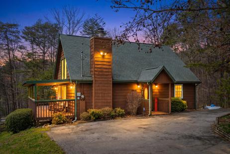
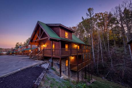
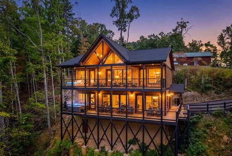
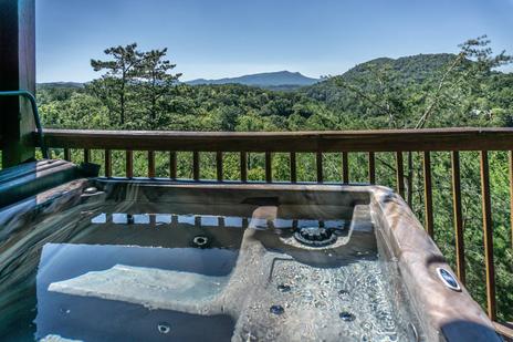
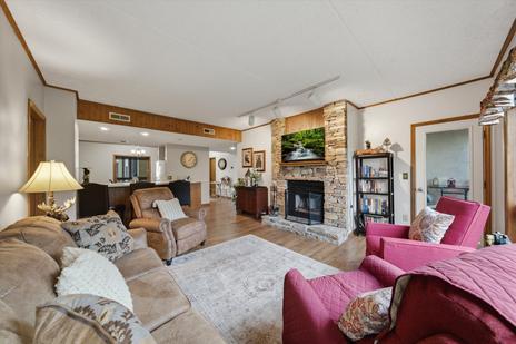
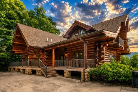
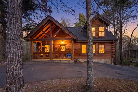
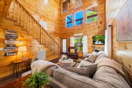
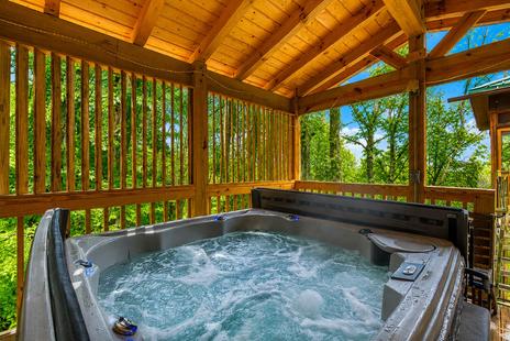
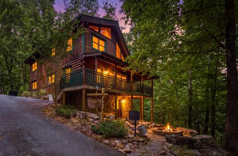
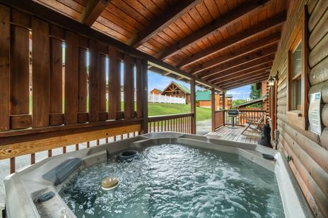
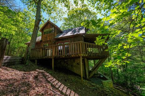
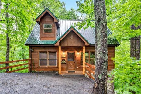
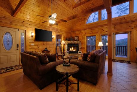
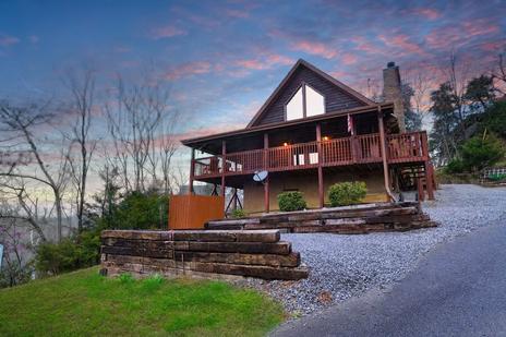
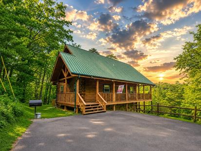
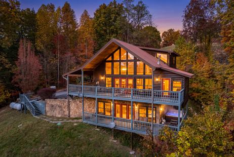
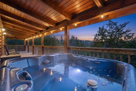
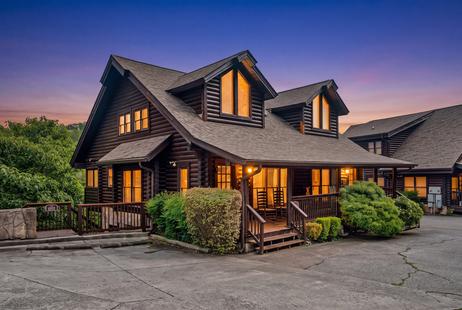
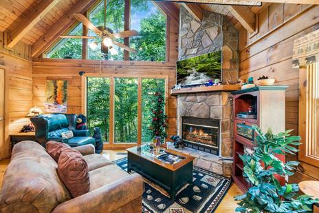
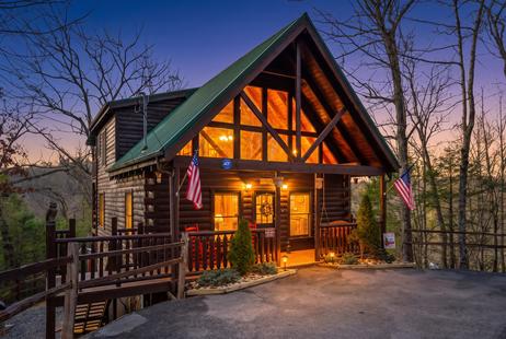
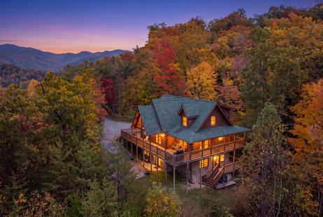
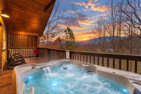
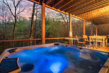
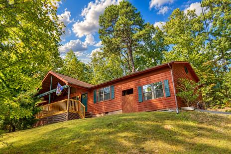
Laurel Falls is just minutes from our Gatlinburg cabins, so you can be on the trail early and back in time for lunch in town. Our family cabins have room for everyone, and our cabins near the national park keep the trails close. After the hike, relax in one of our hot tub cabins, and if the dog is coming, our pet-friendly cabins welcome them too.